Scan it. Shape it. Keep it.
The starting point
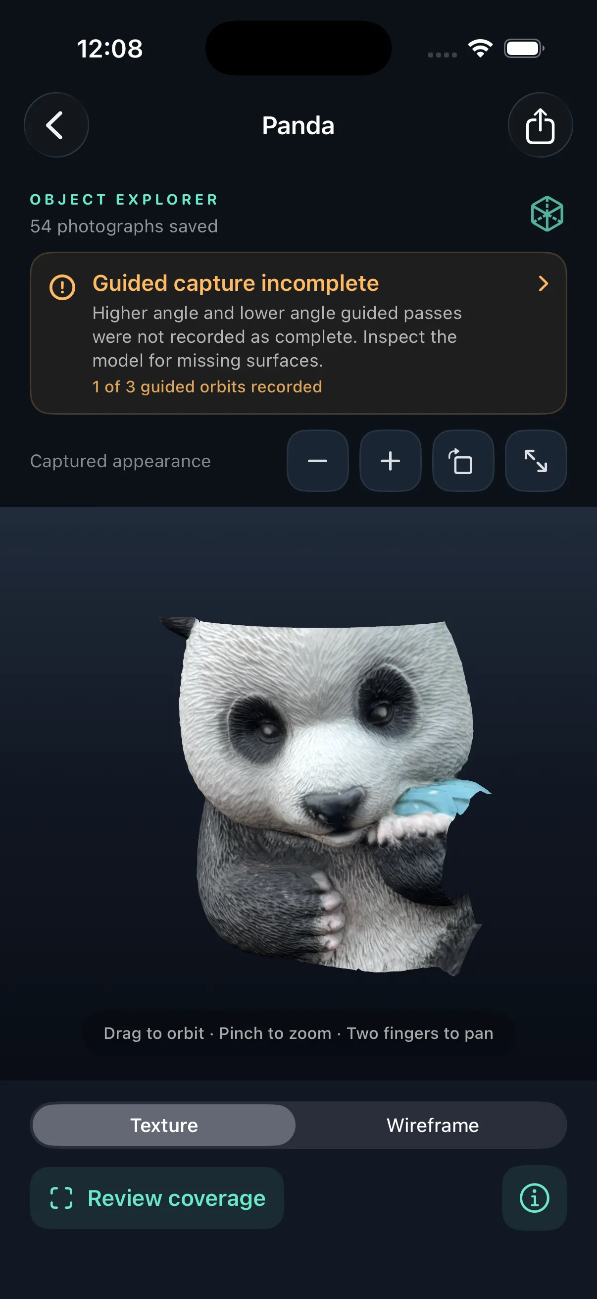
A scan is only useful when you can see where it is incomplete, return to it later and move the result into the tools you already use.
What I built
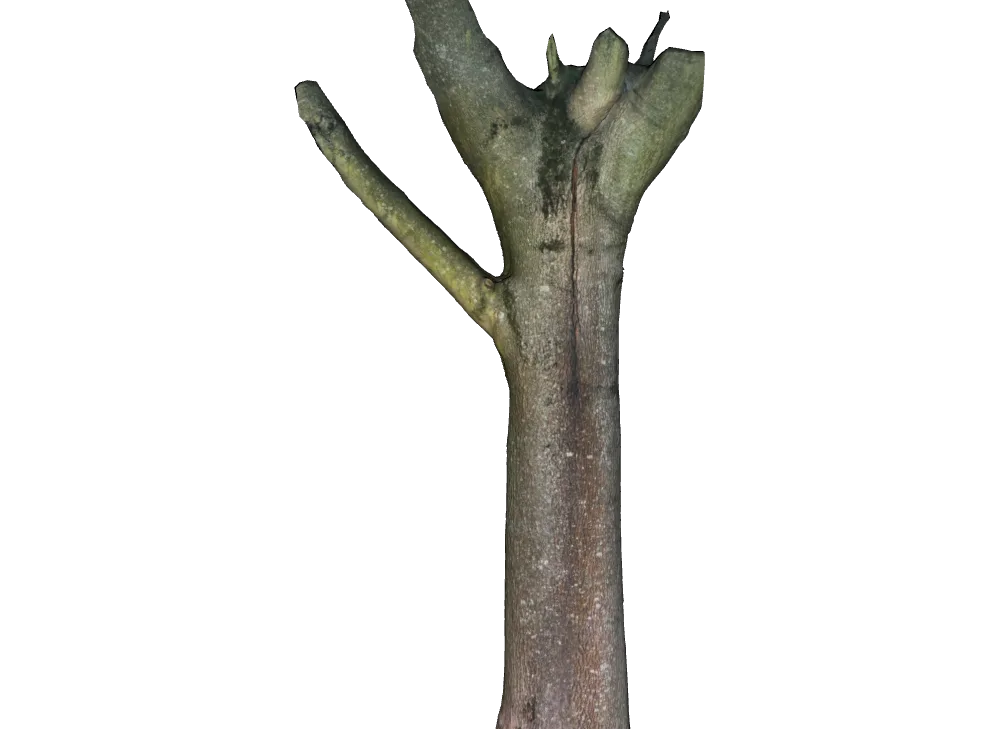
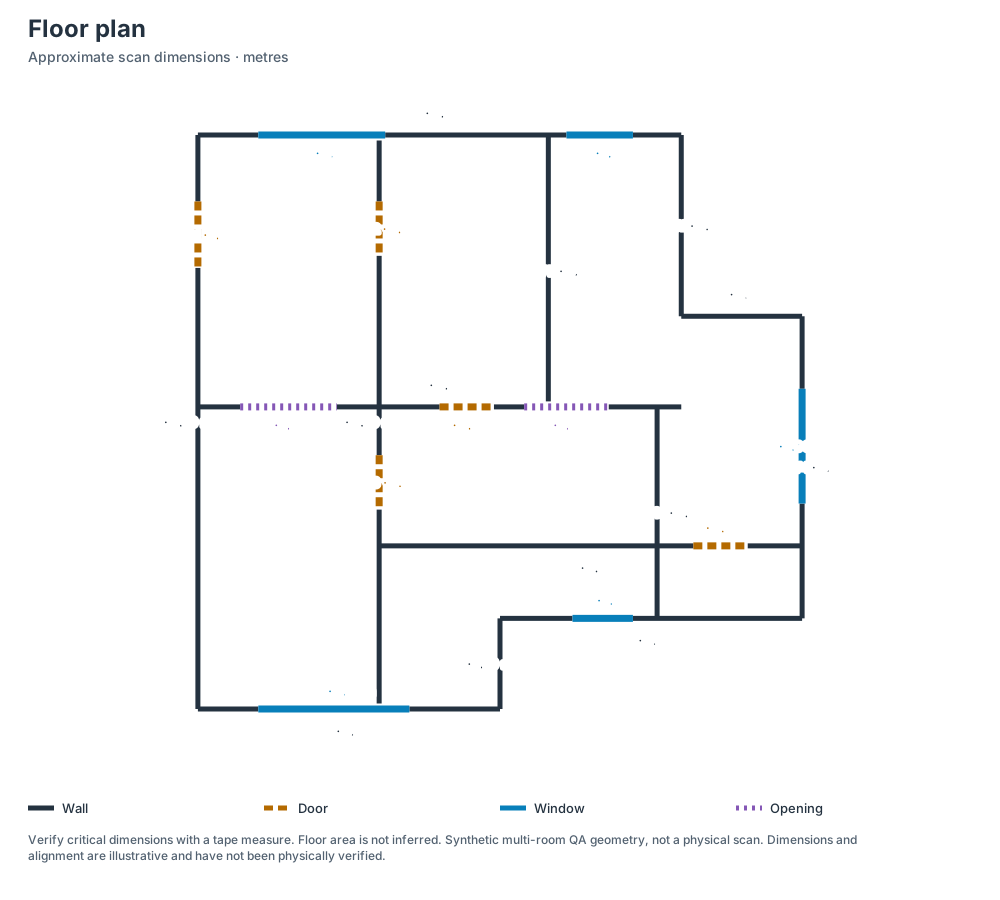
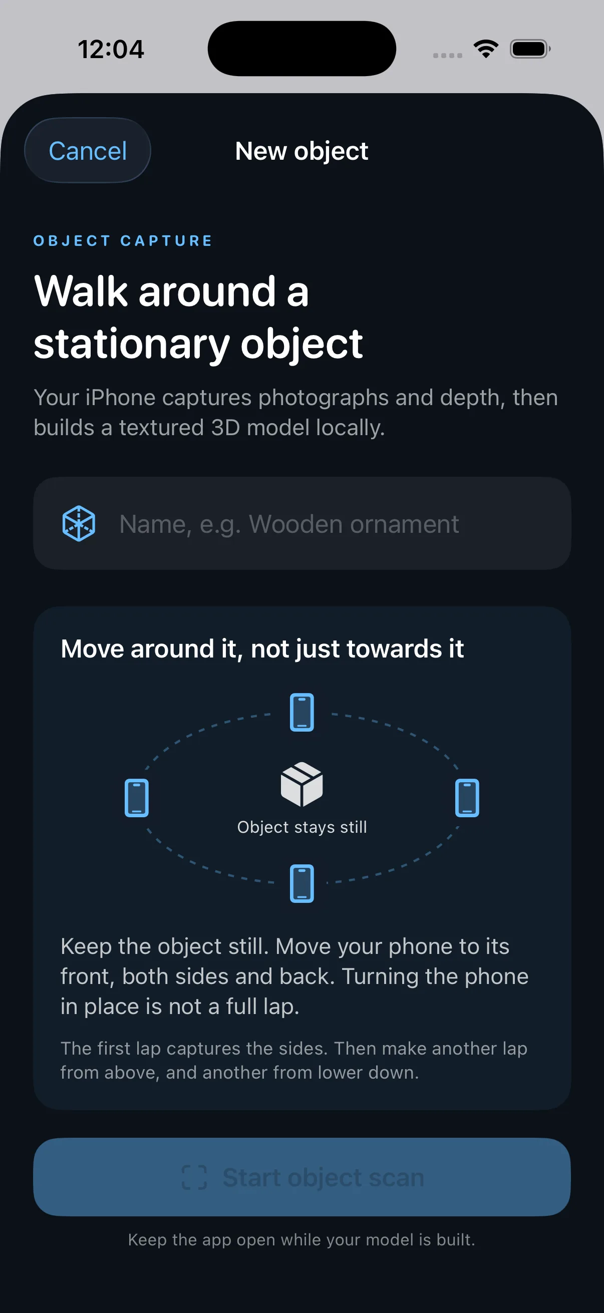
3D Scanner brings several practical capture paths into one local app. Guided object capture builds textured models, while LiDAR modes cover rooms, connected floor plans, outdoor routes and larger surfaces on supported iPhones. Room and level exports preserve observed wall, door, window and opening spans as dimensioned plans; they do not infer wall thickness, door swings, floor area or unseen structure.
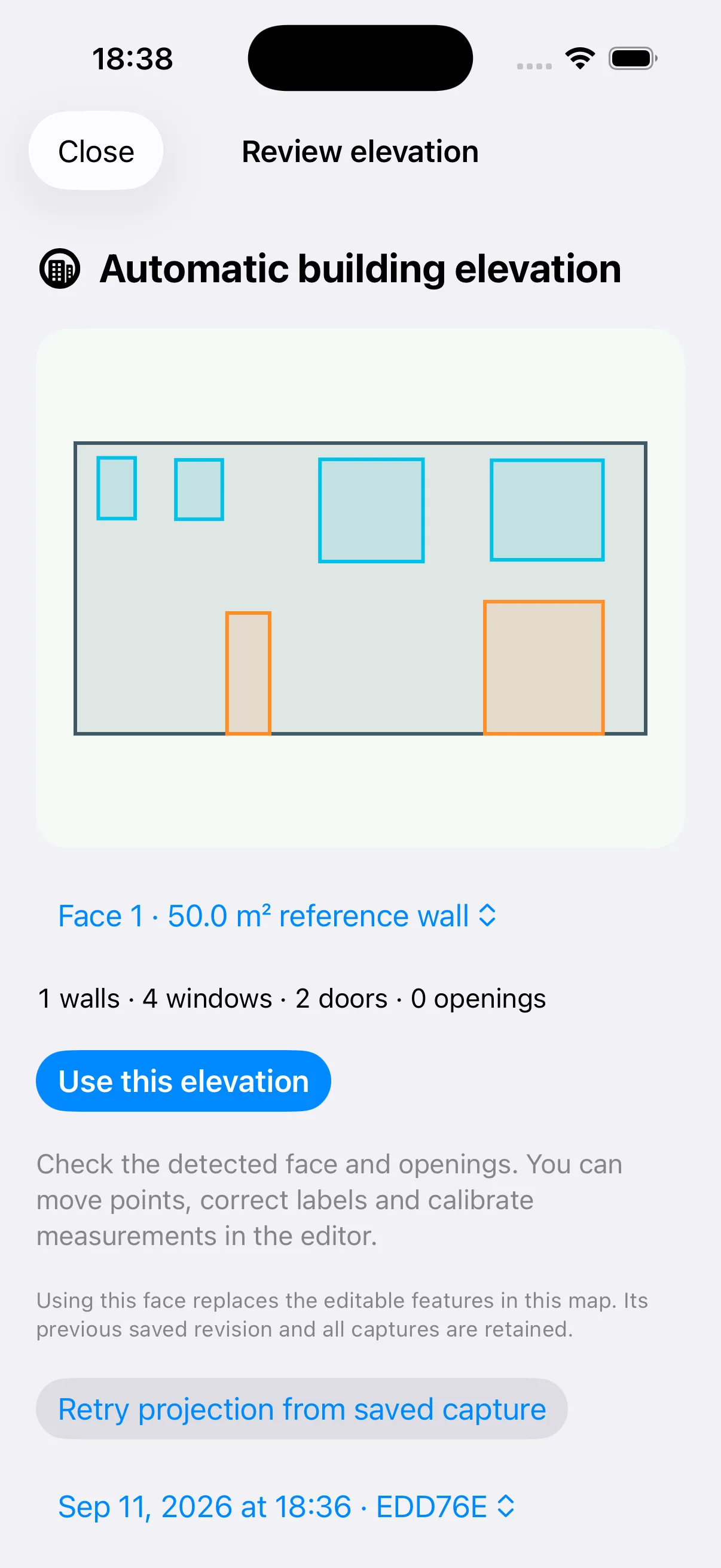
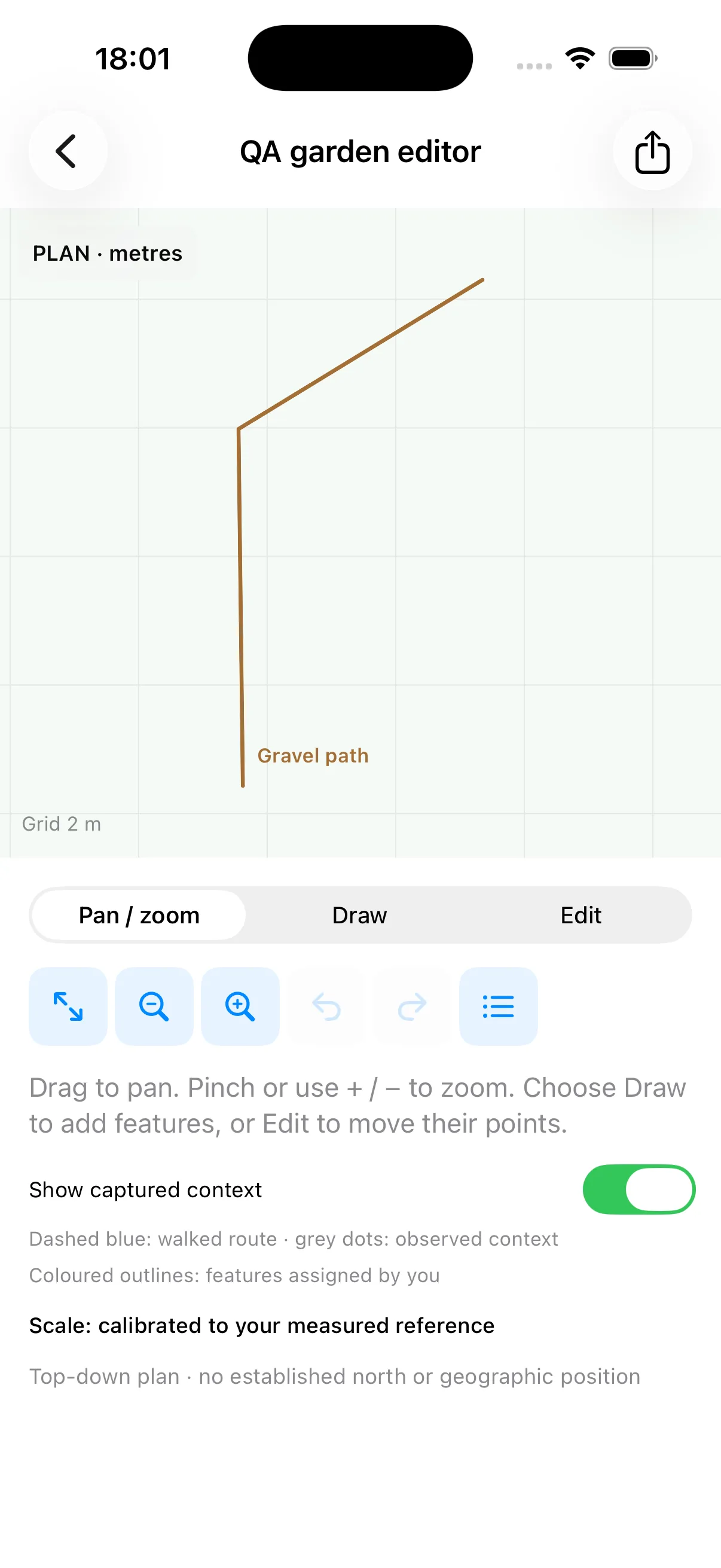
For building fronts and other exterior elevations, architecture experiments turn observed walls, windows, doors and openings into editable drawings. A separate site-mapping mode keeps the walked camera route beside observed surface coverage instead of pretending it has recognised every path or boundary.
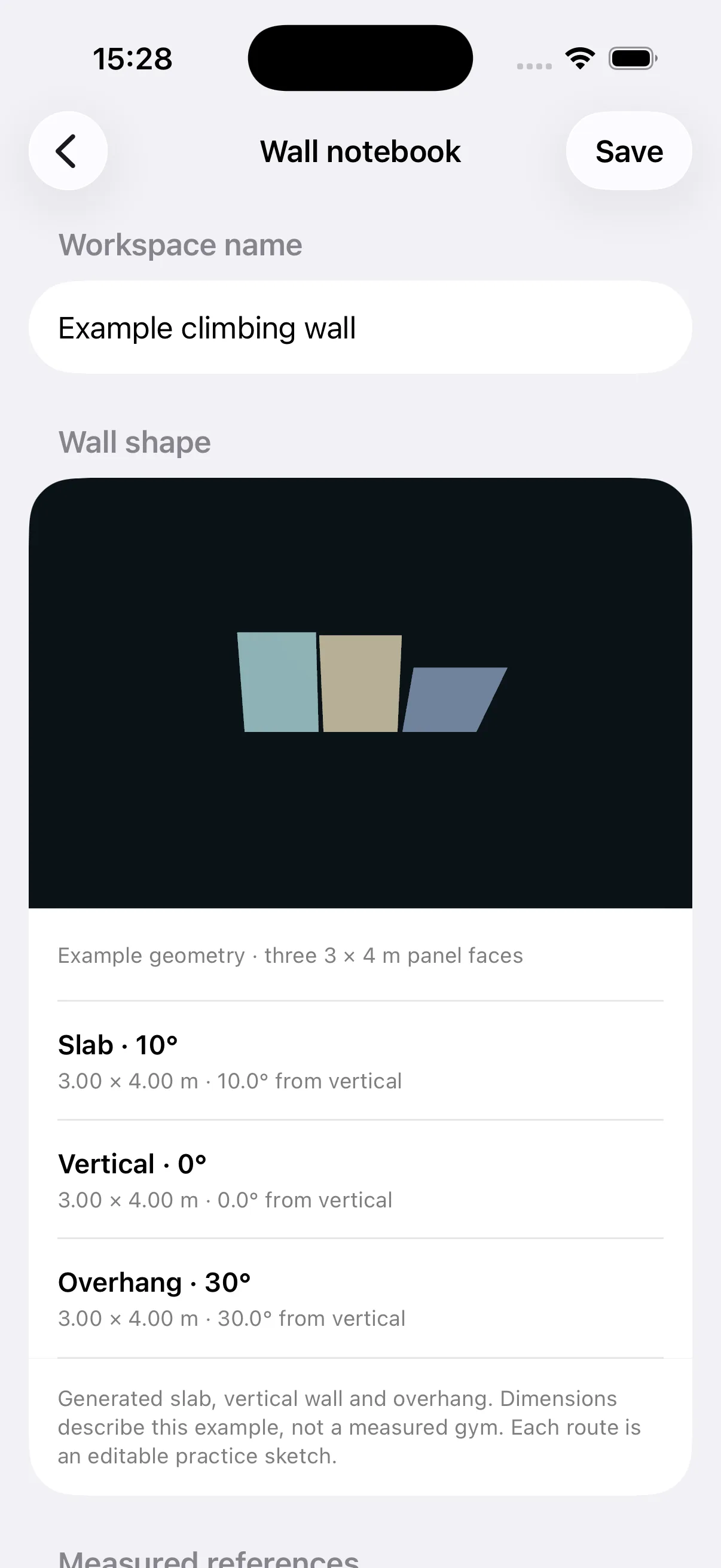
A climbing workspace explores another use for the same geometry: keep a wall shape, sketch routes and volumes, and attach test-climb notes. The published example is synthetic practice geometry; real gym capture and setter-led acceptance are still in progress.
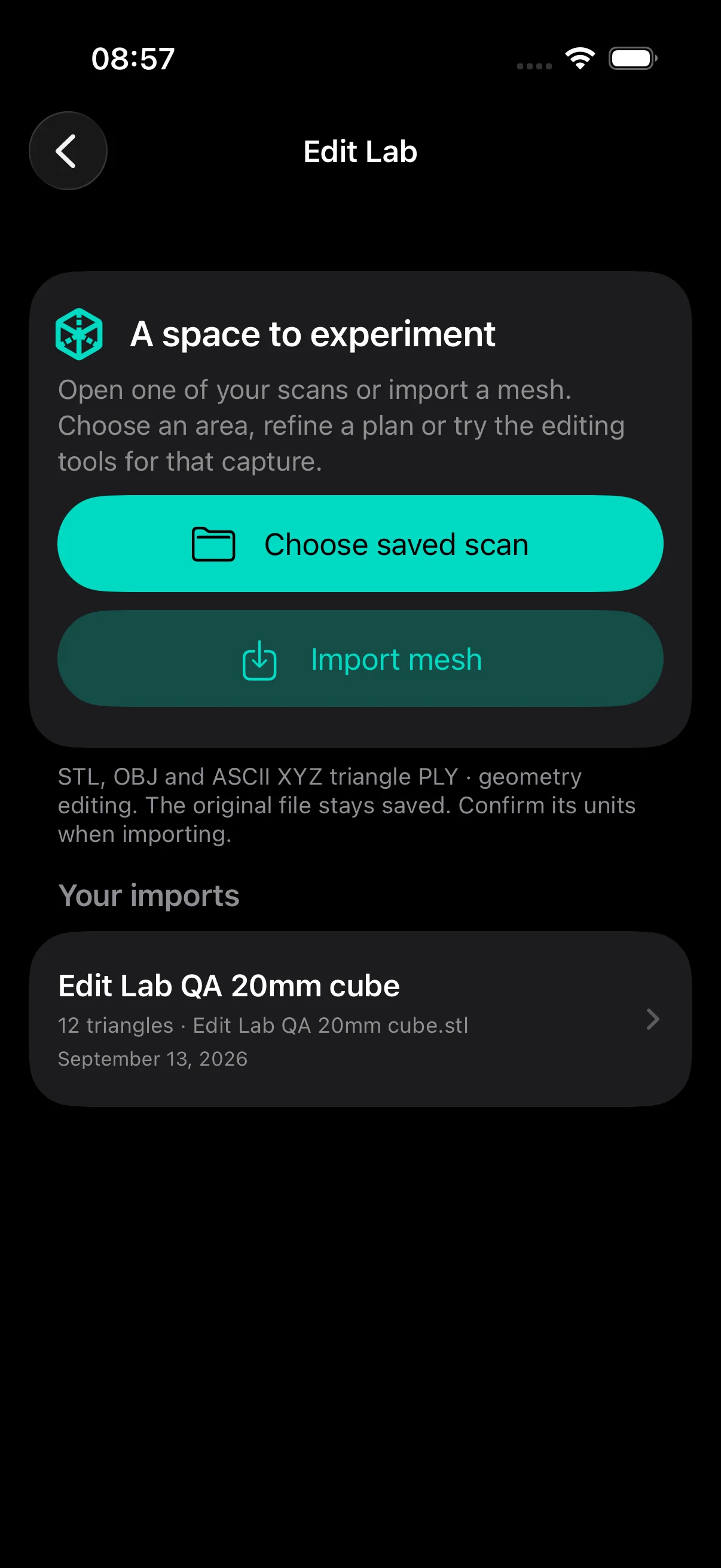
Saved work can be reopened rather than disappearing into a one-shot capture. The Edit Lab keeps the original scan and creates separate cropped or processed versions, so an incomplete edge or unwanted surroundings remain visible decisions instead of hidden cleanup.
Models can leave the app as USDZ, STL, OBJ, GLB or PLY. Room workflows also produce portable plans and data such as SVG, DXF, PDF, CSV and JSON. Processing is local; sharing starts only when you choose it.