A different scale of everyday life.
The starting point
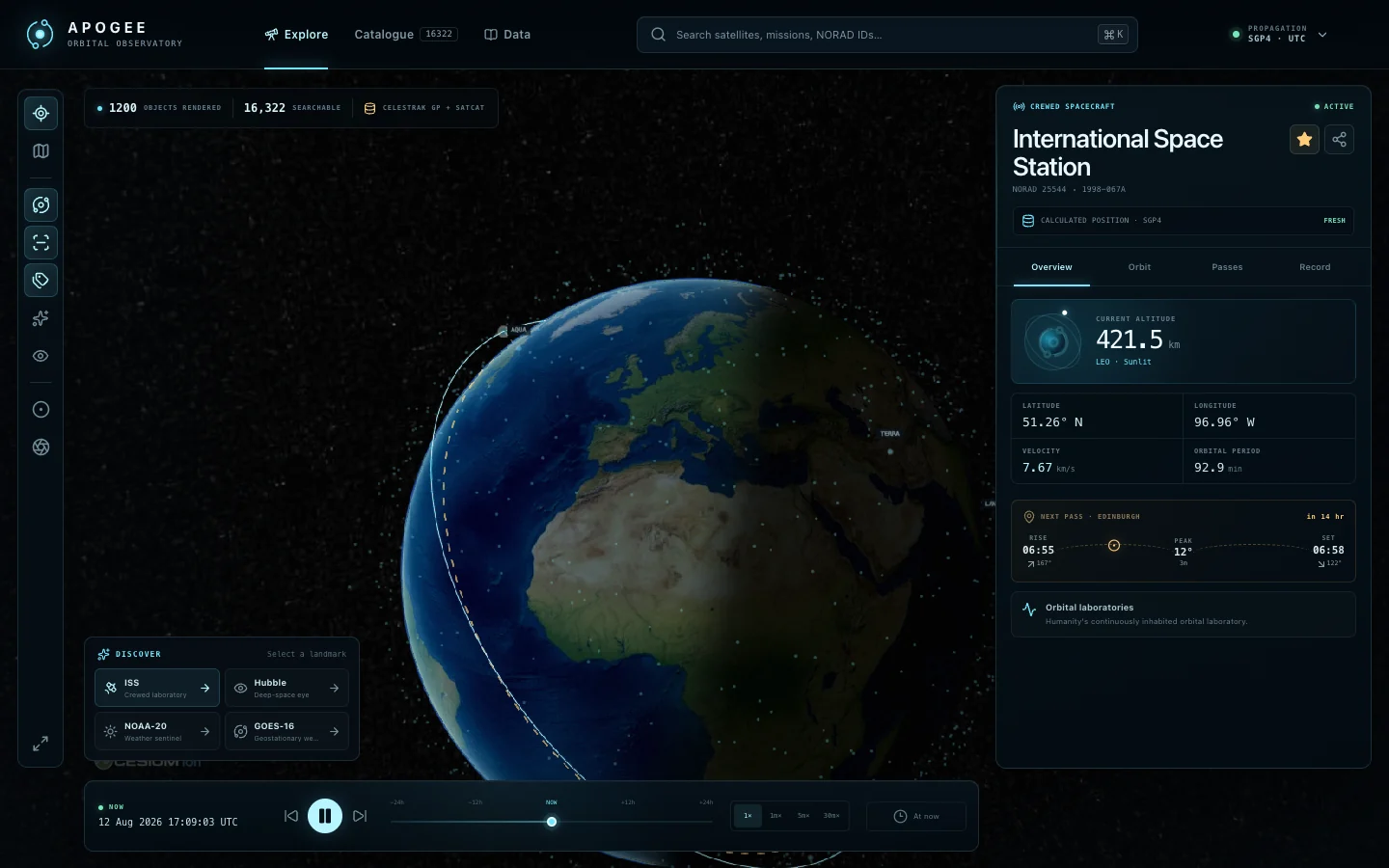
Satellites are part of everyday infrastructure, yet their paths are difficult to picture. An orbital view gives those paths scale and context.
What I built
An orbital observatory for exploring Earth and the satellites moving around it. Search and time controls make an invisible landscape navigable. Satellite positions are calculated from orbital data; they are not a live telemetry feed.